Post
New online interactive map helps Indigenous peoples and communities assert land rights

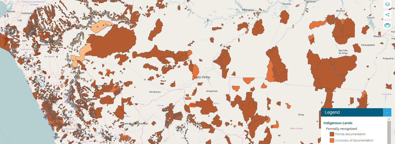
LandMark is a new online mapping platform that provides critical information on the collective land and natural resource rights of Indigenous Peoples and local communities around the world. The interactive, global map is designed to increase the visibility of indigenous and community lands and present crucial information on the state of land rights.
LandMark currently provides information at two scales–community level and national level—allowing users to compare the land tenure situation across countries and within countries.
- Community level data include the boundaries of lands held or used by Indigenous Peoples and communities, including lands that are formally recognized by government and those that are held under customary tenure arrangements. Clicking on the boundaries in the interactive map provides additional information about the lands.
- National level data provide two categories of information for a country: 1) the amount of land held or used by Indigenous Peoples and communities as a percentage of the country’s total land area, and 2) a snapshot of the legal security of indigenous and community lands based on a review of national land and resource rights laws for each country.
(Content from http://www.landmarkmap.org/)
Read more from Thomas Reuters here.
Region:
> Global

