One of the central steps in Namati’s community land protection process is participatory mapping of community lands and natural resources. During mapping meetings groups of men and women discuss and draw initial maps of their community boundaries, communal areas and ways that they use their land and natural resources. The small groups then come together to share and combine their maps.
Namati and partners are testing new tools to support community mapping, including the use of satellite imagery, digital mapping software and global positioning system (GPS) data. This gallery shares photographs from two community meetings in northern Uganda in February 2015 where Namati and LEMU field tested the use of satellite imagery in participatory mapping exercises.

Geographic Information System (GIS) expert Alan Mills explains the continuum of mapping techniques in a training session with LEMU staff

LEMU staff test the satellite imagery mapping exercise

Community members in Burlobo interpret the satellite imagery of their community

Satellite imagery draws large crowds eager to identify landmarks

In small groups, community members draw and debate draft maps on the ground

Sketching on the ground is an engaging way for groups to discuss the spatial layout of their community

LEMU facilitator Robins Odur explains the mapping exercise

Community members select a small team of representatives to draw on the maps, then huddle around to observe and comment

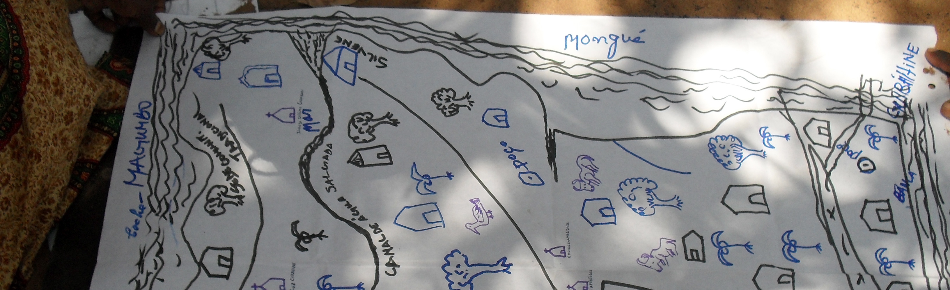
Community members draw sketch maps on paper to document their existing perceptions of their community land

During the sketch maps, the group agrees on a legend to use in the final mapping

Women and men point out landmarks on the satellite imagery

Often women are the best at identifying natural resource use areas on the map

Women are often more confident in mapping exercises when they can work in their own group, without men

A young man assists an elder to interpret the satellite imagery and identify boundaries

Points, lines, and areas are proposed, debated and agreed upon by the mapping group

An elder monitors the mapping to ensure it follows the legend agreed upon during the first sketch map

Once map elements are agreed upon, the group guides their selected artist to draw it on a layer of thin, clear plastic laid over the satellite imagery

Each line is drawn carefully and slowly, with group approval

The small mapping groups reassemble to share their maps

Groups present their sketch maps and legends

Each group explains their final map in detail

Each group describes their mapping decisions and the group’s reasoning

Contentious elements, such as boundaries, were discussed as drafts that will be resolved in later steps of the community land protection process